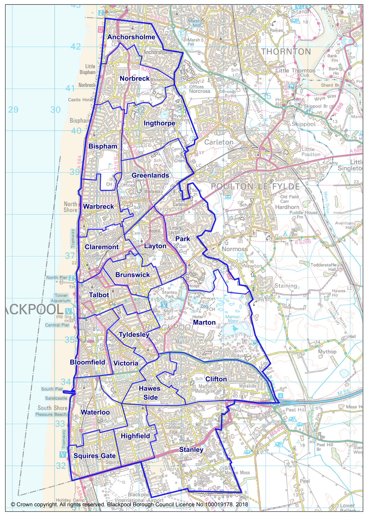
Ward Profiles
Last Modified 22/01/2026 13:35:13
Share this page
Fingertips is an online tool produced by the Department of health and Social Care in order to improve the availability and accessibility of quality assured health and health-related information for users in the NHS, local government and the general public. Local health, public health data for small geographic areas provide access to interactive charts and tables at Ward, Middle Super Output Area (MSOA), local authority and any other user defined combination of these geographies. The information produced in these profiles allows users to compare any selected area to the England average for a range of indicators. The charts and tables can be printed out or saved as a graphical image for use in a Word document or PowerPoint presentation and the data can be exported for use in Excel or any other suitable piece of software.
User note: ward level data in Local Health has been estimated from MSOA data, population-weighted using the mid-2015 all age population of the Output Areas that make up each ward. This has been done in order to avoid the need to suppress the data for a large number of areas in order to prevent disclosure by differencing. As such, the figures generated by the tool are a close approximation of the 'real' data for that ward rather than an exact match.